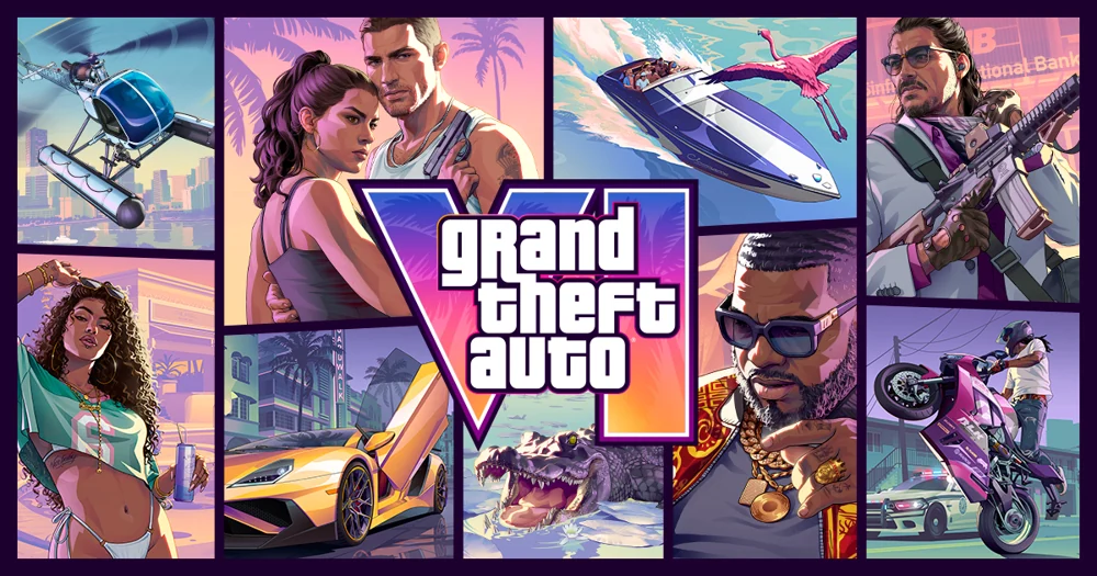

Look for the cruise liner in Rockstar’s night view of the Vice City waterfront. For the container ship, pause Trailer 1 around 0:23 as speedboats cross the foreground. The two views show different kinds of traffic in the harbour.
How to tell the ships apart
In the night panorama, follow the long illuminated hull and the stacked passenger decks. In the daylight shot, look above the speedboats for rectangular stacks of containers, then follow the quay to the loading cranes. The small boats draw the eye away from the freight terminal. Neither view shows a character boarding a passenger service.
Source: Rockstar Games — GTA VI media gallery, Rockstar Games — GTA VI Trailer 1
How the old city and Miami help read the harbour
The map bundled with GTA: Vice City labels its southern docks Vice Port. Use VI’s images to locate features of the modern waterfront. For a real-world reference, Miami-Dade’s PortMiami map marks both the cruise terminals and cargo facilities. It explains how both kinds of vessel share a harbour without making Miami’s berth numbers directions for the game.
Source: Rockstar Games — original Vice City street map, Miami-Dade County — PortMiami terminal map, Rockstar Games — GTA VI media gallery
Sources
- Rockstar Games — GTA VI media gallery
- Rockstar Games — GTA VI Trailer 1
- Rockstar Games — original Vice City street map
- Miami-Dade County — PortMiami terminal map
Interfaces and rules can change. Check the official pages above for current requirements.